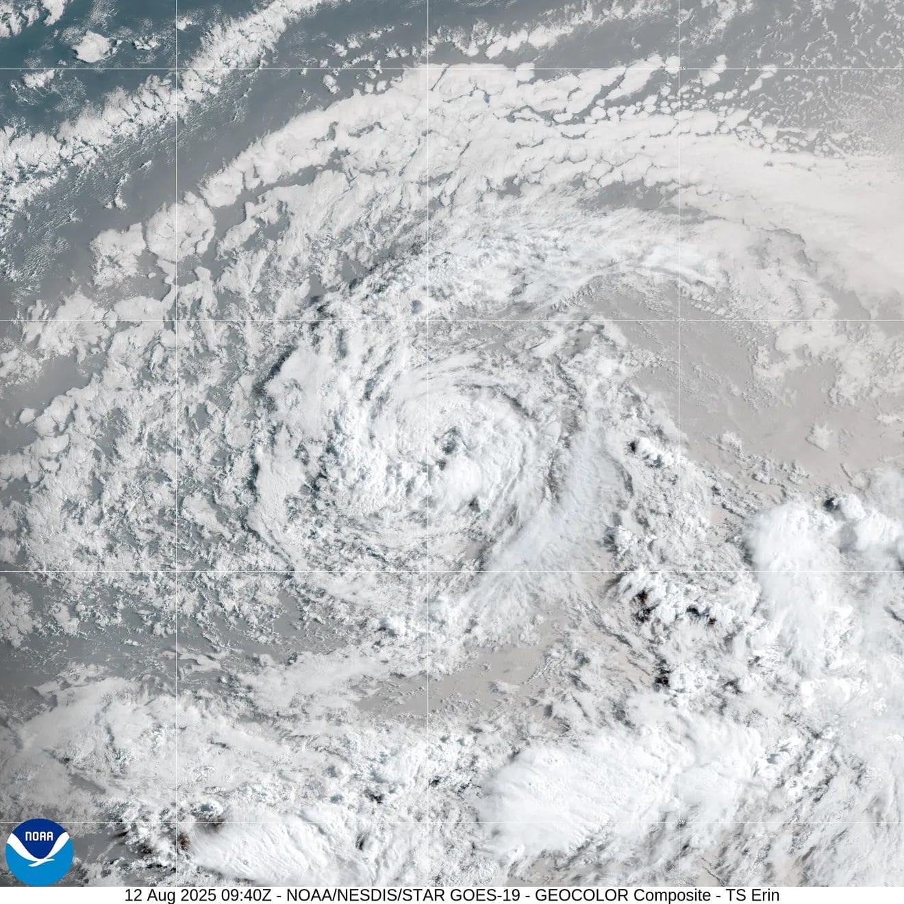
Tropical Storm Erin Strengthens, Could Become First Hurricane of 2025
Tropical Storm Erin has formed in the Atlantic and is expected to rapidly intensify, potentially becoming the first hurricane of the 2025 Atlantic season. As of the latest advisory from the National Hurricane Center (NHC) on Tuesday, August 12, Erin is located about 690 miles west of the Cabo Verde Islands, with maximum sustained winds near 45 mph. Forecasters predict that the storm will continue to strengthen in the coming days, with Erin likely to become a hurricane soon.
Erin’s Path and Forecast
Erin is currently moving westward, and this motion is expected to continue for the next several days. While there are no immediate threats to land, the storm’s forecast path suggests it could potentially affect areas along the U.S. East Coast, with wind speeds ranging from 74 mph to 156 mph. Even without direct landfall, the storm’s large size could cause significant damage.
AccuWeather forecasts that Erin will strengthen into a Category 1 hurricane by Thursday afternoon and may reach major hurricane status, with wind speeds exceeding 111 mph, within 48 hours. If the storm follows its projected path, it could bring rough surf and rip currents to the East Coast, particularly along North Carolina’s Atlantic coast.
Potential U.S. Impact
While many models suggest Erin could avoid a direct impact on the U.S., some forecasts indicate a shift in the storm’s path that might bring it closer to the southeastern U.S. Meteorologists warn it’s still too early to rule out a landfall and urge residents along the East Coast to keep an eye on the storm’s progress.
Experts also advise those in the Caribbean, particularly the Leeward Islands, to closely monitor the storm. Erin’s path could bring it dangerously close over the weekend. The large storm could still cause significant impacts, even if it doesn’t make landfall and its exact trajectory is uncertain.
Preparing for Hurricane Season
The 2025 Atlantic hurricane season, which began on June 1, runs through November 30. Tropical Storm Erin is the fifth named storm of the season and the second to form in August. Forecasters urge residents in potentially affected areas to create an evacuation plan and stock their disaster supplies.

Key Takeaways:
- Strengthening Storm: Erin is forecast to become a hurricane in the next couple of days, possibly reaching major hurricane status.
- Potential Impact: While direct landfall in the U.S. is unlikely, the East Coast should prepare for rough seas and possible coastal impacts.
- Monitor the Storm: Meteorologists advise residents in affected regions to keep monitoring the storm’s progress and adjust plans as necessary.
More…
- https://www.usatoday.com/story/news/weather/2025/08/12/tropical-storm-erin-path-hurricane-tracker-spaghetti-models/85622036007
- https://www.msn.com/en-us/weather/topstories/tropical-storm-erin-spaghetti-models-show-where-hurricane-could-hit-us/ar-AA1KmWCE
- https://www.foxweather.com/watch/fmc-hv57nwv1uogn7urr